
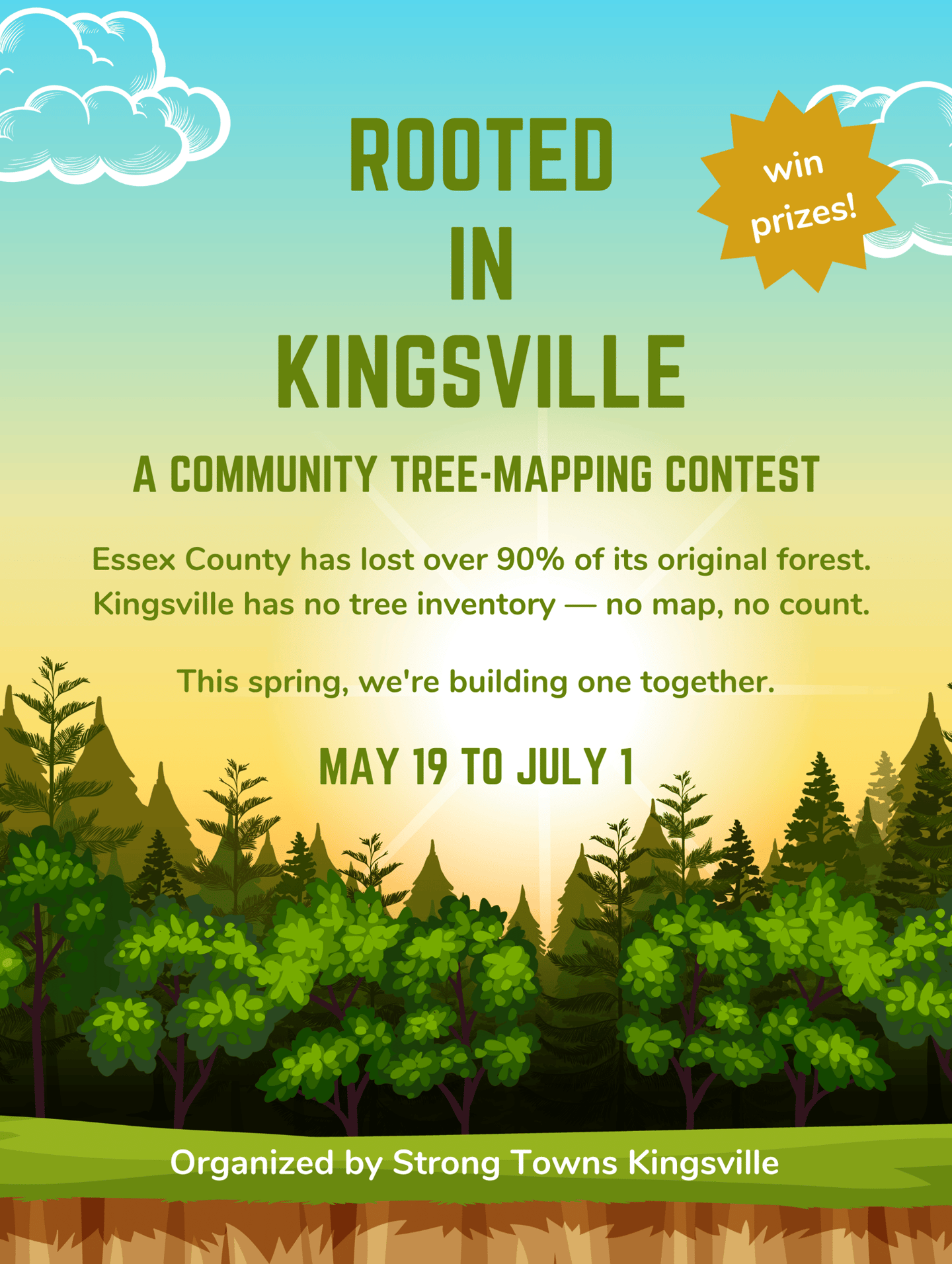
Our goal
Map as many trees as possible across the urban areas of Kingsville, Cottam, and Ruthven — and deliver that data directly to Town Council.
Why Map Trees?
Because trees are infrastructure.
Every mature tree on a town street is doing quiet, unglamorous work: absorbing stormwater that would otherwise strain municipal systems, shading asphalt to slow its deterioration, cooling the air to reduce energy costs, and increasing property values for every home on the block.
When we lose trees we pay for it in higher taxes and higher air conditioning bills.
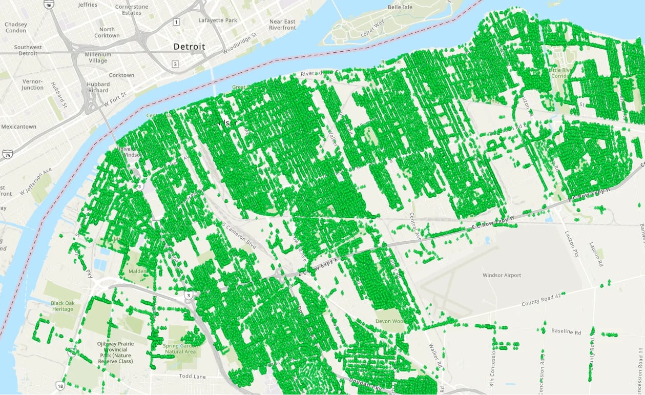
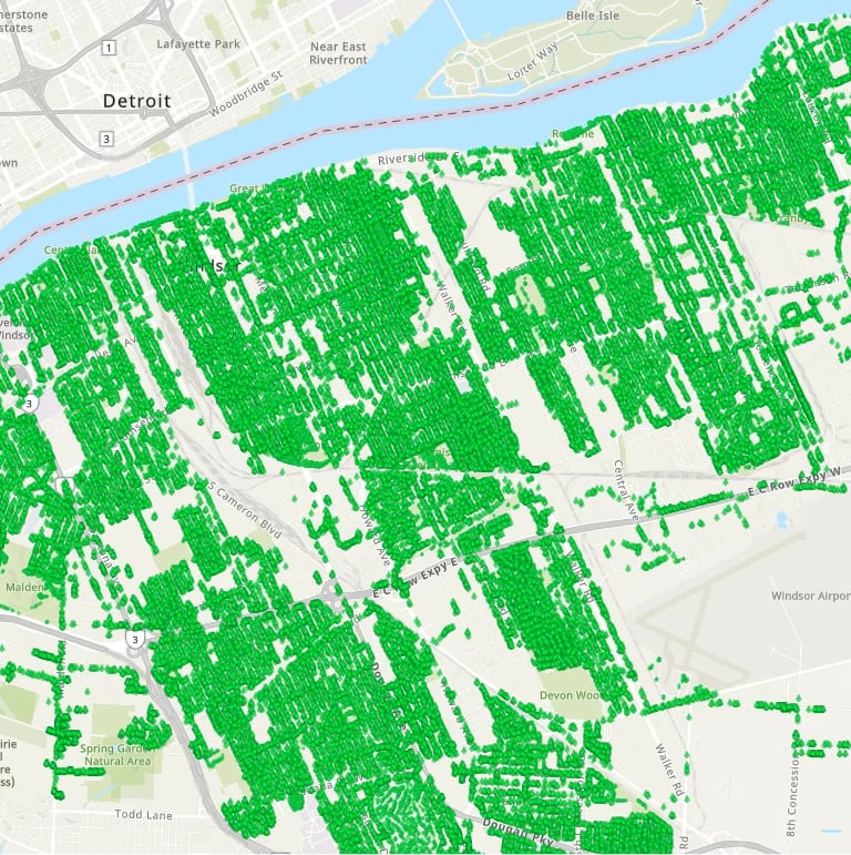
Kingsville cannot protect what it hasn't measured. This map is the foundation of every good decision that follows.
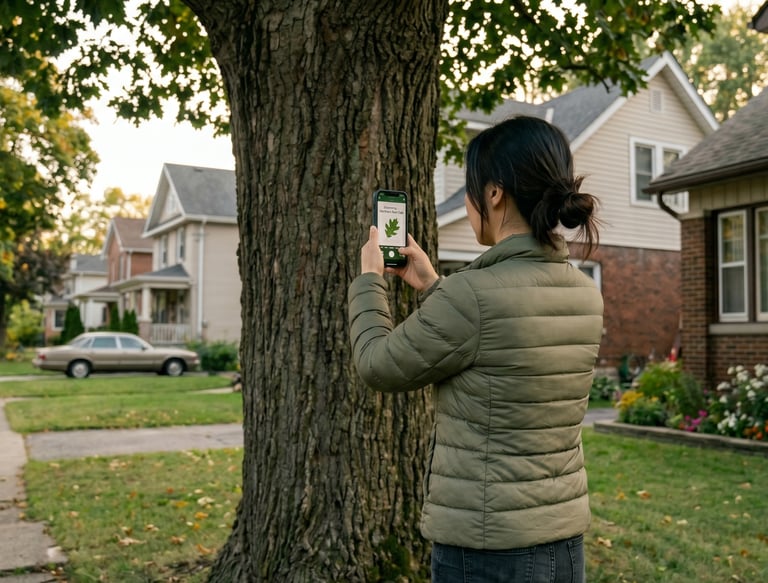
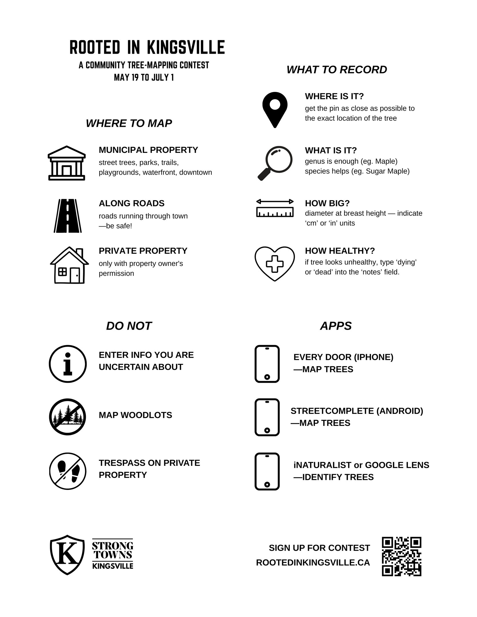
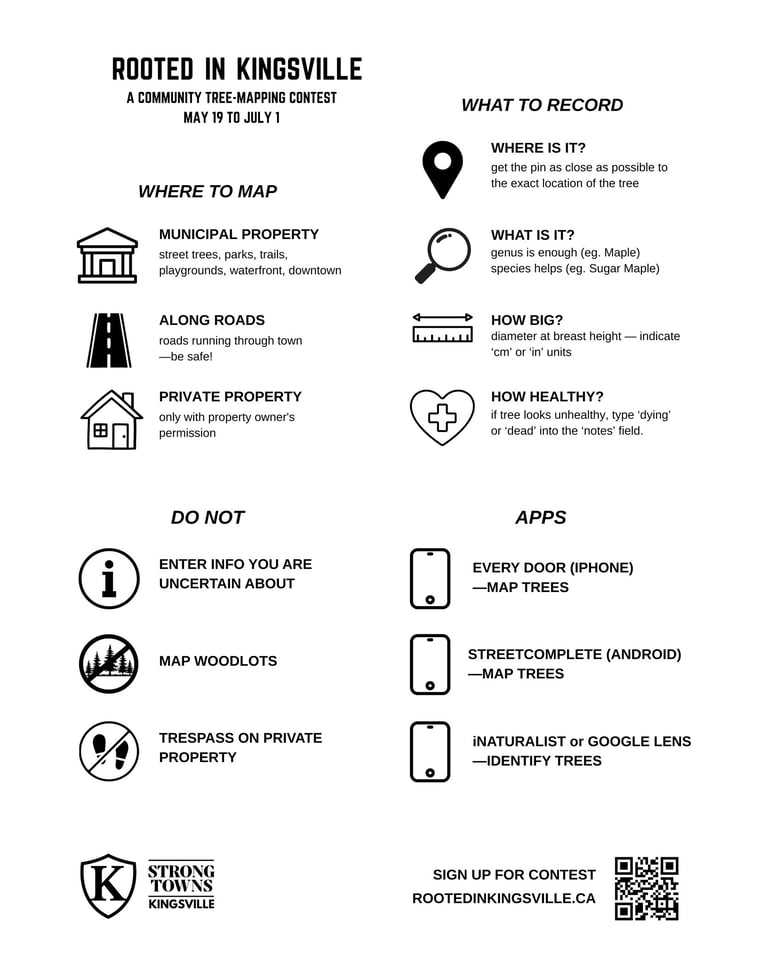
How it works
Volunteers use a free app on their smartphone to record trees one by one — species, trunk size, location. No prior experience required.


The contest
Map the most trees in the urban areas of Kingsville, Cottam, and Ruthven and win prizes generously donated by local businesses
Prizes for top individual mappers
Every tree you record becomes permanent data that the Town, residents, and future planners can use forever
Only trees mapped within the urban areas of Kingsville, Cottam, and Ruthven during the contest period (May 19 to July 1) are counted towards the contest.

Sign up for the contest
Join the Rooted in Kingsville tree mapping contest and help increase Kingsville's tree cover.
Next training session
We'll walk you through the app, do a practice mapping session together, and answer every question. You'll leave ready to compete. Bring your fully charged phone.
Location
Lakeside Park, Kingsville
Time
Saturday May 16 - 11:00 AM
Contact
Questions? Reach out anytime, we're here.
Phone
519-818-2713
© 2026 Strong Towns Kingsville. All rights reserved.